
Document
Flood Risk Assessment
Establishes which flood zone a site sits in, from every source of flooding, and shows how the scheme responds to that risk over its lifetime.
- The tier this usually sits in
- MinorThe tier this usually sits in
- Wren, for a case at that tier
- £1,995Wren, for a case at that tier
- Specimen you can read in full
- PublishedSpecimen you can read in full
- Sections inside it
- 7Sections inside it
What is inside
Section by section.
- 01Every source of flooding considered: rivers, tidal, surface water, groundwater, sewers and reservoirs
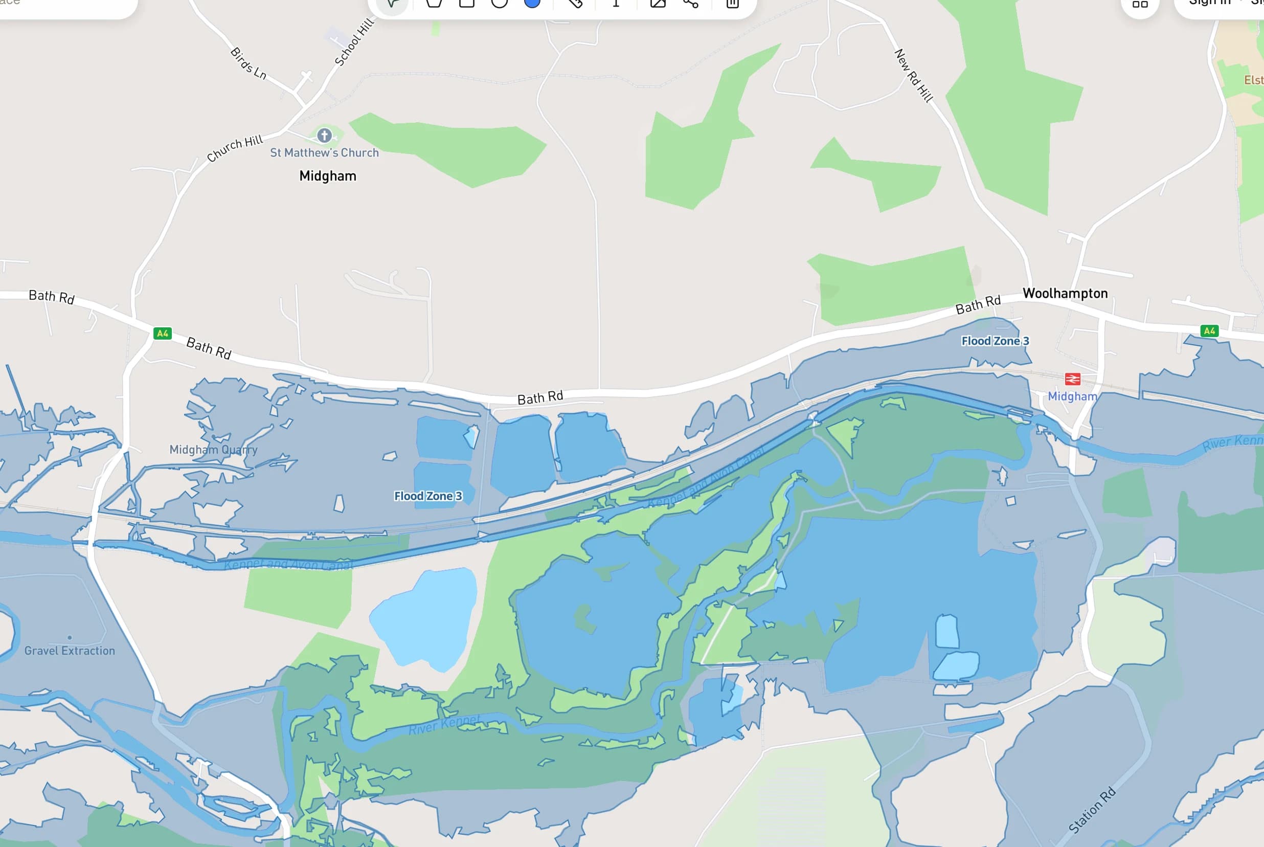
- 02The flood zone classification for the site
- 03The Sequential Test, and the Exception Test where it applies
- 04Climate change allowances applied over the development's lifetime
- 05Finished floor levels, and safe access and egress
- 06Surface water drainage and betterment
- 07Residual risk and a flood response
When it is required
Why a council asks for this.
National Planning Policy Framework paragraphs 167 to 169. Flood zone and climate allowance figures are taken live from the Environment Agency. Rainfall allowances and river-flow allowances use different band names over different epochs, and a figure quoted under the wrong one is rejected rather than corrected.
| Required when |
|---|
| Any site in Flood Zone 2 or Flood Zone 3 |
| Any site of one hectare or more, in any flood zone |
| Sites with a recorded history of surface water or groundwater flooding |
Why it exists
Documents answer constraints.
A council does not ask for this because it likes paperwork. It asks because something on or near your site triggers it, and the appraisal will tell you whether yours is triggered before you pay for anything.
Asked and answered
About the Flood Risk Assessment.
How do I know which flood zone I am in?
Is this the same as a drainage strategy?
Often alongside
Documents that usually travel with it.
Explains the design thinking behind a scheme and how people will get to and around it. Required by statute for certain applications, and the first thing a design officer reads.
Sets out whether a scheme triggers your council's affordable housing policy, and what it must provide or pay if it does.
Find out whether your site needs one.
The appraisal names the route, lists the documents that route requires, and prices the set before you commit to anything.